

problem Public transportation is a significant part of infrastructure across the country and around the world. According to the American Public Transportation Association, transit systems play a significant role in improving the quality of life for people in nearby communities by increasing mobility, especially in more affordable and safer ways than private transportation, and creating more job opportunities. It also has many environmental benefits as well, which are becoming more necessary as climate change worsens. Using public transportation saves 4.2 billion gallons of gas every year in the United States. Every person who switches from a private 20-mile commute to a public ride can decrease carbon emissions by over 48,000 lbs a year. However, many people are hesitant about making this transition because of the inconsistencies and annoyances that are currently present in many transit systems. The MassBio 2022 Transportation Survey revealed that “respondents are driving more and using public transportation less due to a lack of reliability and flexibility of the MBTA and Commuter Rail.” The Massachusetts Bay Transportation Authority (MBTA), as well as many other transportation systems are often steered away from by users due to the fact that their arrival times are dependable, which can be an annoyance when planning out trips in advance to arrive at a destination by a set time, or just avoid waiting for long periods at bus stops. Hence, providing bus arrival times in an easily accessible and accurate way can promote users to use the public transportation systems more for their transportation, which will benefit the economy and the natural environment. The WRTA had a significant ridership decline in 2018, but they have been making efforts, most notably, removing bus fares, to increase passengers. However, it is critical for the creation of a substantial system that will ensure clear communication between WRTA buses and riders in order to maintain the increased interest; one of the main reasons for choosing to drive over other modes of transportation is because “public transit is too unreliable” (Massachusetts Biotechnology Council, 2022).
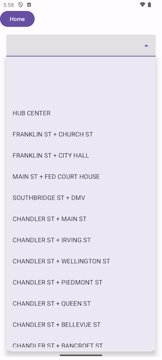
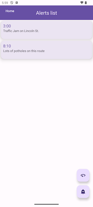
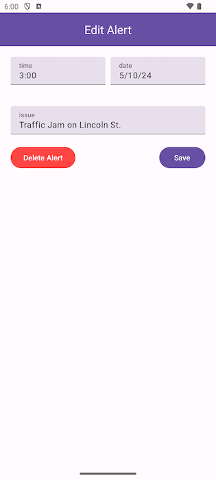
minimum viable product There are 3 main features of our app: 1) Map of bus routes and directions using Google Maps API. This will allow a user to plan a trip and determine what stops they will get on/off at, as well as what bus route to take. 2) Arrival times (and estimated remaining time left) of buses on specific stops on each route using API from the WRTA. This specific API uses a SMS messaging system that will be implemented into Android Studio so a user either supplies a stop number/name or it is pre-filled from the map in feature 1. 3) Alerts for line/stop closures or safety hazards provided by user submissions. This will require the use of Firebase to store data required. Feature 1 will require the use of Google Maps API integration into Android Studio. This will allow the user to use all features of Google Maps, including trip planning and bus route selection. Feature 2 will require the use of the General Transit Feed Specification (GTFS) feed from the WRTA to build a database of all stops that a user can select. This feature also uses the SMS feature the WRTA offers - you text WRTA and a stop number (ex. 4) to 41411 and it returns the stop name and times of bus arrivals with real-time updates. Feature 3 will require the use of Firebase to store all user-inputted alerts in the cloud so that any user can access them. The user will need to provide minimal information to use the app, only supplying any alerts they notice or stops they would like to travel to/from.


